Experts in large scale mapping solutions for our remote regions
Our Services

For precision and complex large scale mapping.
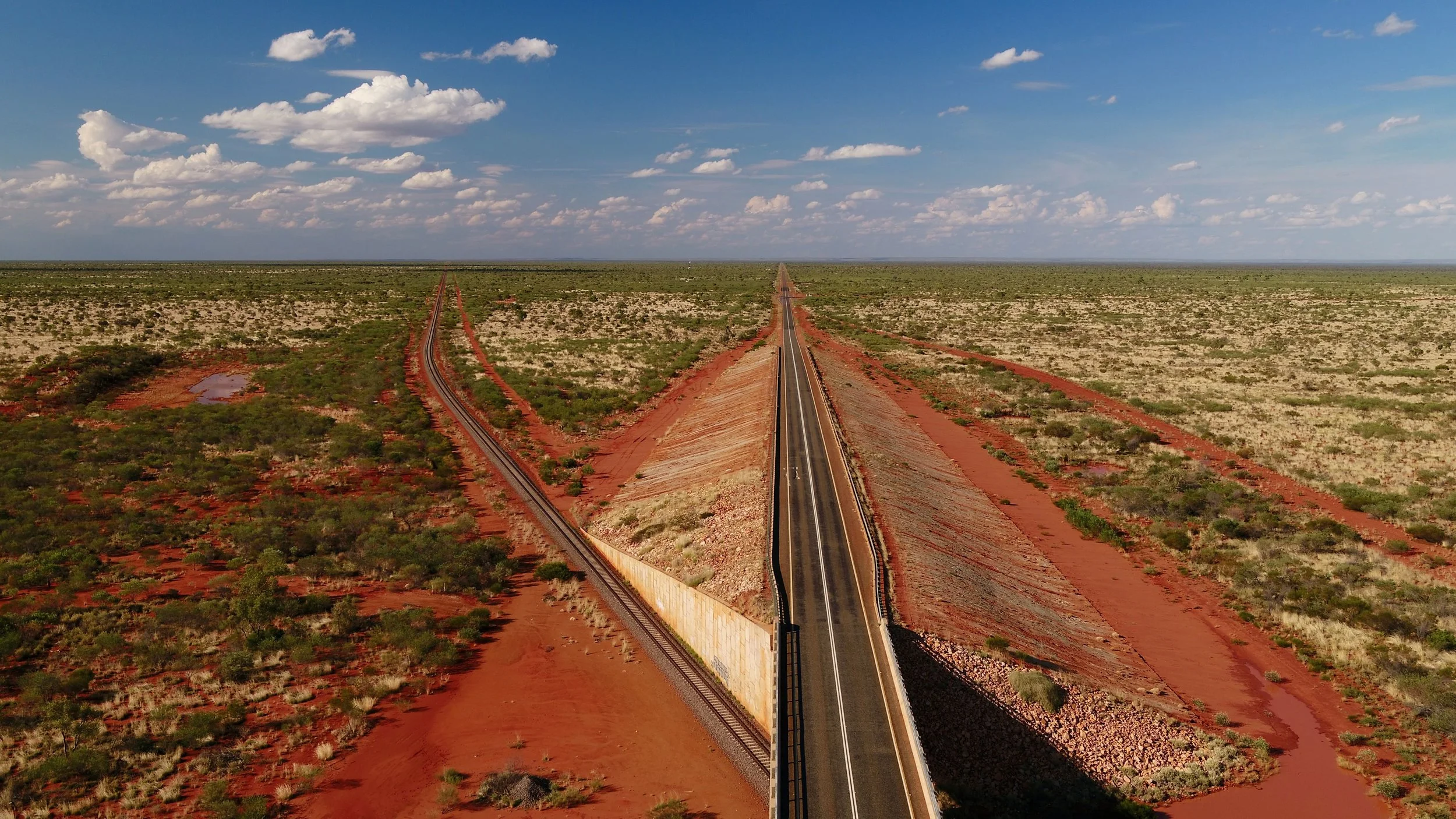
Whether mapping corridors like riverbeds, powerlines, and roads for terrain analysis or vegetation density data for carbon credits, our helicopter-based solutions ensure accurate and efficient project data acquisition. We deliver tailored mapping services to meet your needs of your project.

Let’s do Geophysics
We deliver efficient multi-sensor datasets, including gravity, magnetics, radiometrics, hyper- and multi-spectral and EM used for exploration for mining leases, carbon crediting, and environmental assessments . We provide fast, accurate data acquisition across vast regions. Optimise your projects with our aerial mapping expertise.

For mapping roads on the go
We provide precise road condition and terrain mapping for assessment and asset management, capturing both topographic features and signage. Our solutions support comprehensive project planning and maintenance. Get reliable data to keep your infrastructure in top shape.
About
our company
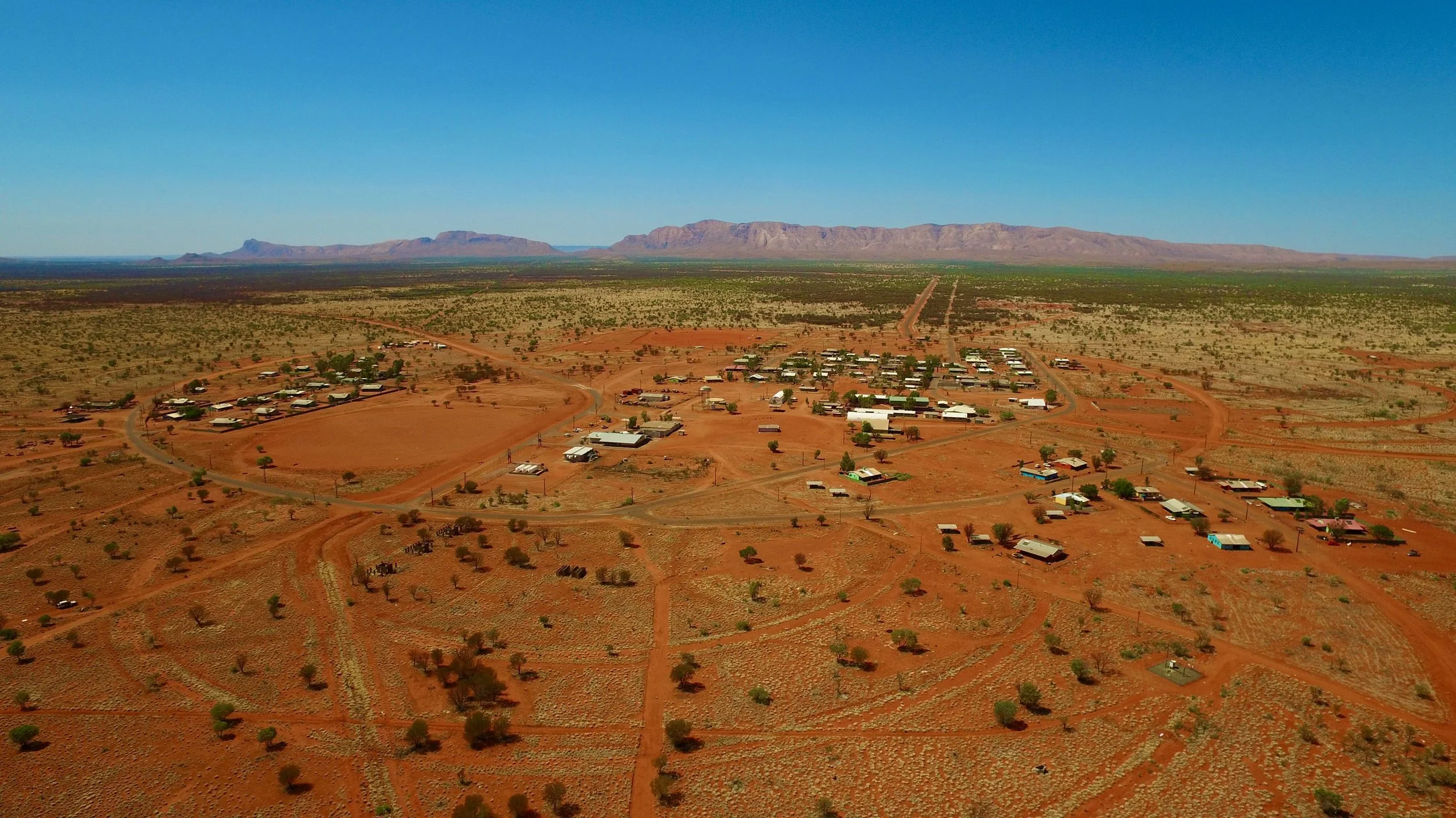
HeliMapping Pty Ltd is an indigenous-owned company offering local aerial mapping and geospatial data services in the Northern Territory. Specialising in helicopter and aeroplane-based surveys, HeliMapping aims to support industries such as environmental conservation, urban planning, indigenous land management, agriculture, exploration and mining. Our operations are designed to provide high-quality, precise data through advanced LiDAR and photogrammetry, as well as geophysical sensors.
Contact Us
Need more information or request a quote for your next project? Please fill out some info and we will be in touch shortly.