Our Services
HeliMapping Pty Ltd is committed to offering specialised aerial data collection services for clients in agriculture, construction, mining, and environmental sectors, with a focus on providing tailored and efficient solutions for the Northern Territory. We aim to leverage the latest in LiDAR and photogrammetry technology while maintaining strong community ties and environmental stewardship.
By combining our expertise with cutting-edge technology, HeliMap delivers reliable, cost-effective remote sensing solutions tailored to the unique needs of each client. Located in Alice Springs, we proudly serve the Northern Territory, providing localized service with a deep understanding of the region’s diverse landscapes. Whether you're planning infrastructure, conducting environmental assessments, require geophysical data or requiring high-detail terrain mapping, HeliMapping is your partner for precision aerial data.
HeliMapping Pty Ltd will primarily serve industries and organisations in the Northern Territory that require high-quality geospatial data. These include:
Agriculture: Providing land use planning, crop health monitoring, and terrain analysis for farmers and agribusinesses.
Environmental Agencies: Supporting conservation projects, forestry management, and ecological assessments.
Mining and Construction: Offering topographic mapping, geophysical data acquisition, site planning, and volumetric assessments for development and extraction projects.
Urban Planning: Supplying high-resolution data for infrastructure projects, disaster risk assessments, and urban expansion.
Government Departments: Providing essential data capture for government agencies in the Northern Territory for land management, natural resource surveys, and infrastructure planning.

HELIMAP
We specialise in delivering high-precision LiDAR topographical surveys, photogrammetry, and advanced remote sensing through our dedicated aerial service, HELIMAP. Our unique approach leverages helicopters to navigate complex and challenging terrains, ensuring accuracy and detailed data collection where traditional methods fall short. Whether it's following the winding paths of riverbeds, flying through narrow gorges, mapping intricate townships, or covering curving roads, our skilled pilots execute precise flight paths to capture every necessary detail.
With the ability to carry sophisticated LiDAR sensors and high-resolution photogrammetry cameras, HELIMAP produces accurate, three-dimensional models, elevation data, and imagery critical for sectors like construction, environmental monitoring, urban planning, and more. Our aerial surveys provide comprehensive insights into hard-to-reach areas, enabling projects to proceed efficiently and safely.

GEOMAP offers a wide range of helicopter-based remote sensing data acquisition, including magnetics, radiometric, gravity, multi-spectral and hyper-spectral combined with high-resolution 4-band photogrammetry and LiDAR - the only one-stop solution in Central Australia.
We have also got access to a fixed-wing electro-magnetics (EM) data capture for large areas of interest.
Whether you need to monitor natural resources, plan for future infrastructure, or assess land for legal claims, GEOMAP ensures that every detail is captured and mapped with precision.
GEOMAP
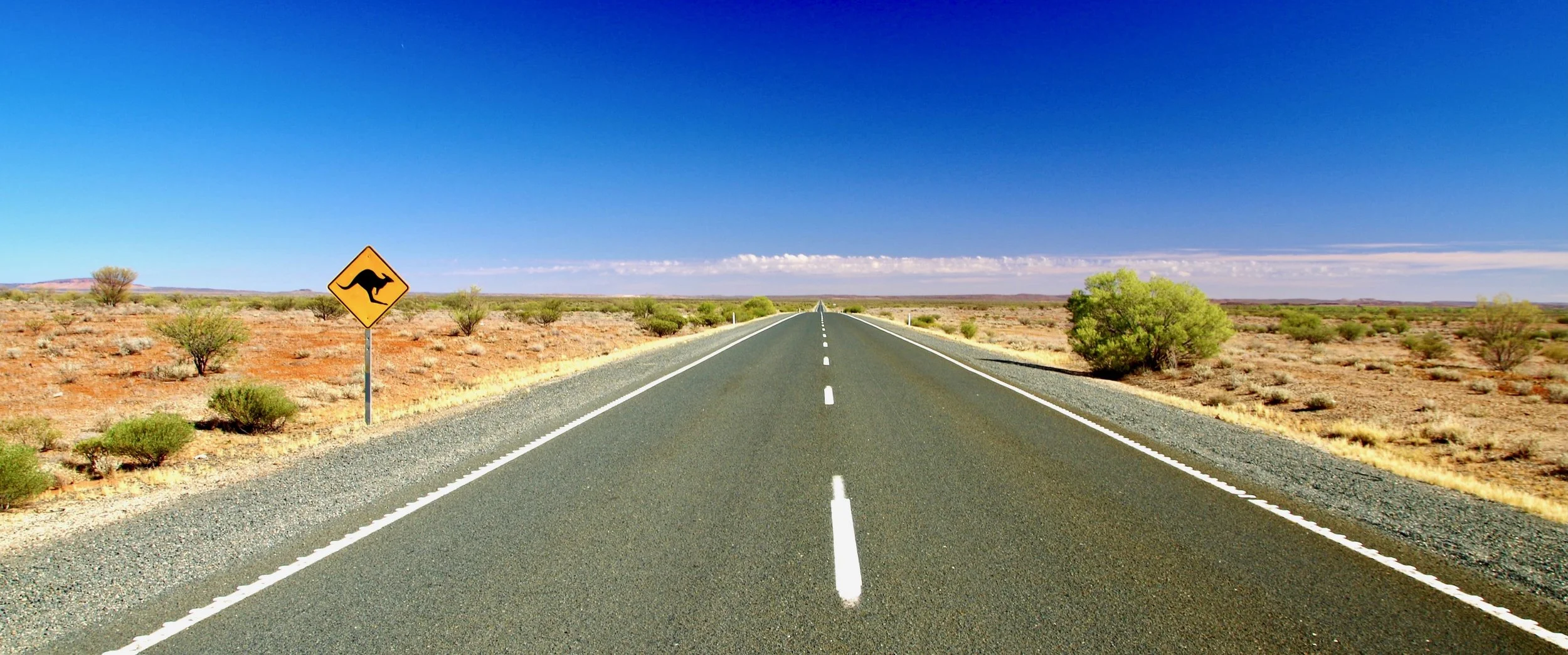
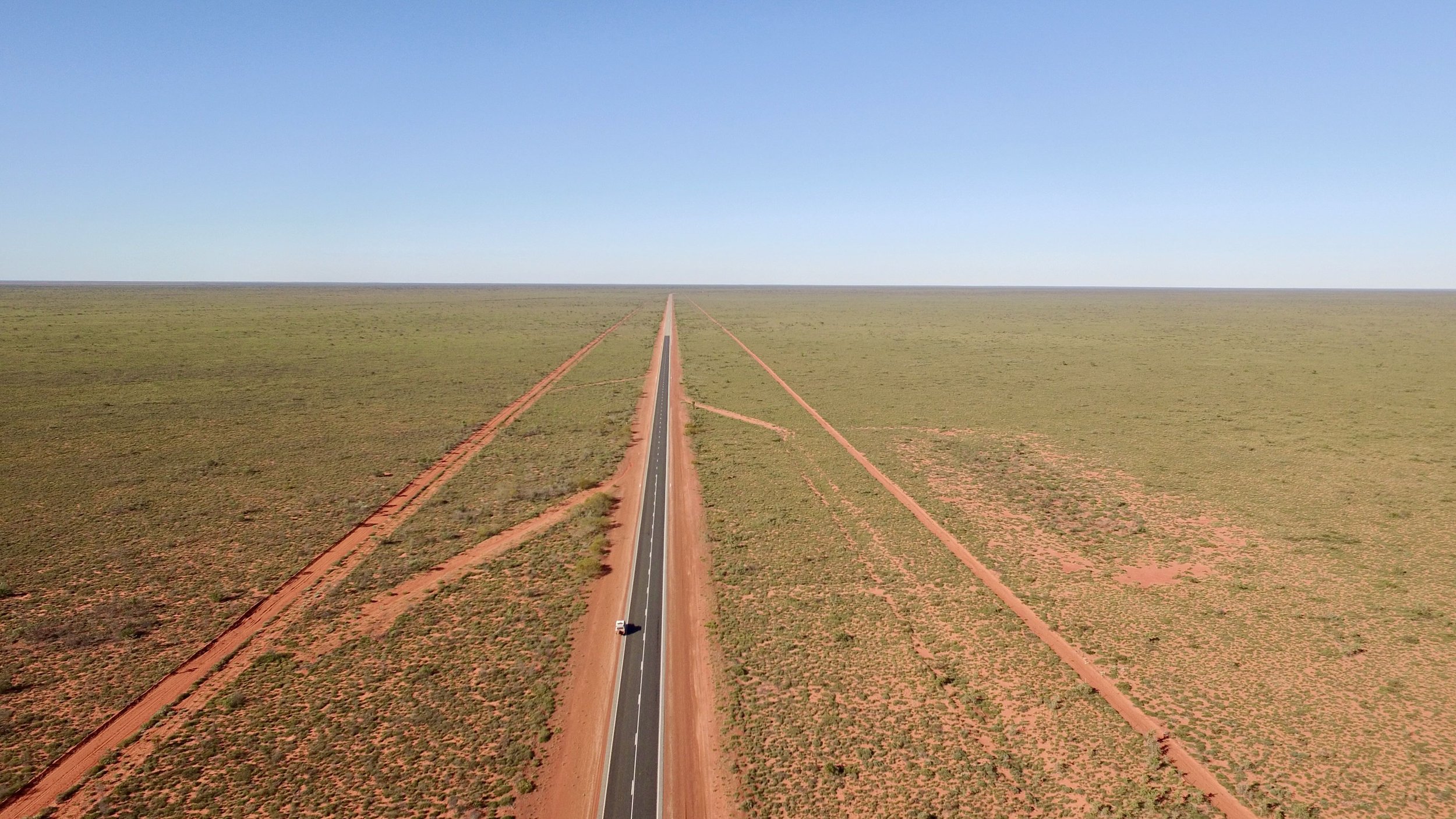
Our ROADMAP service offers reliable and precise surface mapping for both sealed highways and bush roads, tailored for planning and maintenance purposes. Utilising cutting-edge terrestrial LiDAR technology, ROADMAP provides highly accurate surveys to assess road conditions, detect damage from wear and tear, and evaluate flood damage. Our advanced system captures essential data for road extensions, improvements, and infrastructure updates, ensuring that every aspect of the roadway is meticulously documented.
With the ability to map road signage, our service collects geo-referenced data vital for GIS management, allowing authorities to monitor and manage road networks efficiently. This data can also be extracted into CAD systems for detailed road design, ensuring smooth project integration and precise planning. From remote outback tracks to high-traffic highways, ROADMAP delivers critical information needed to maintain and improve road infrastructure, enabling timely interventions and long-term resilience.
ROADMAP